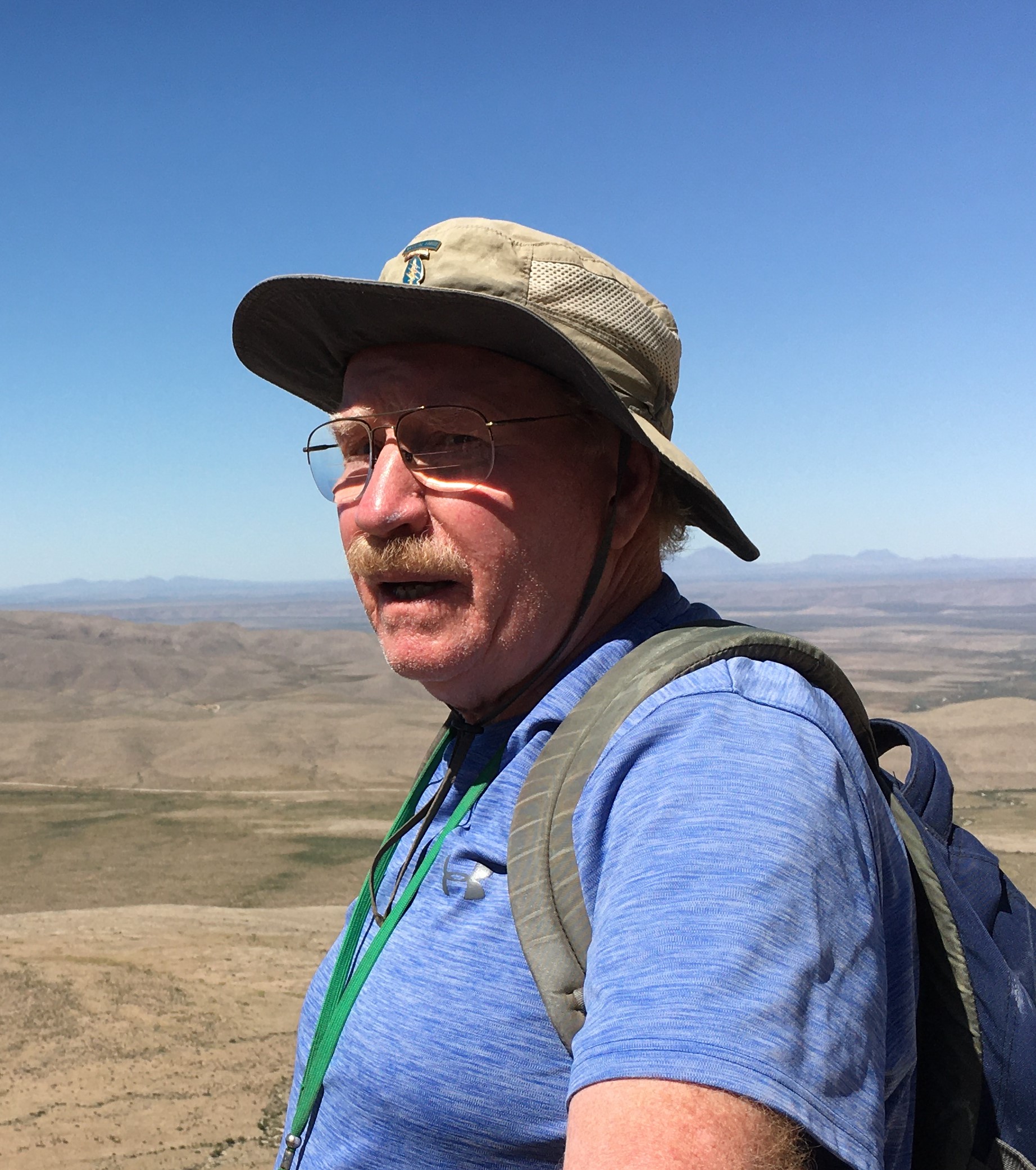
Bob Lindsay: His Career Story and Exciting Life as a Geologist and Canyon Explorer
As told to Linda Sternbach
Bob Lindsay worked in the Permian Super Basin for Chevron as a carbonate petrographer and stratigrapher. He was assigned to work on Eunice Monument field on the northwest corner of the Central Basin Platform, Lea County, New Mexico, in late 1988. Eunice Monument was discovered in 1929 and is composed of a series of unitized oil fields. Prior to this assignment, Bob had worked for Gulf Oil in Oklahoma City, Oklahoma and Houston, Texas, and Chevron in Denver, Colorado.
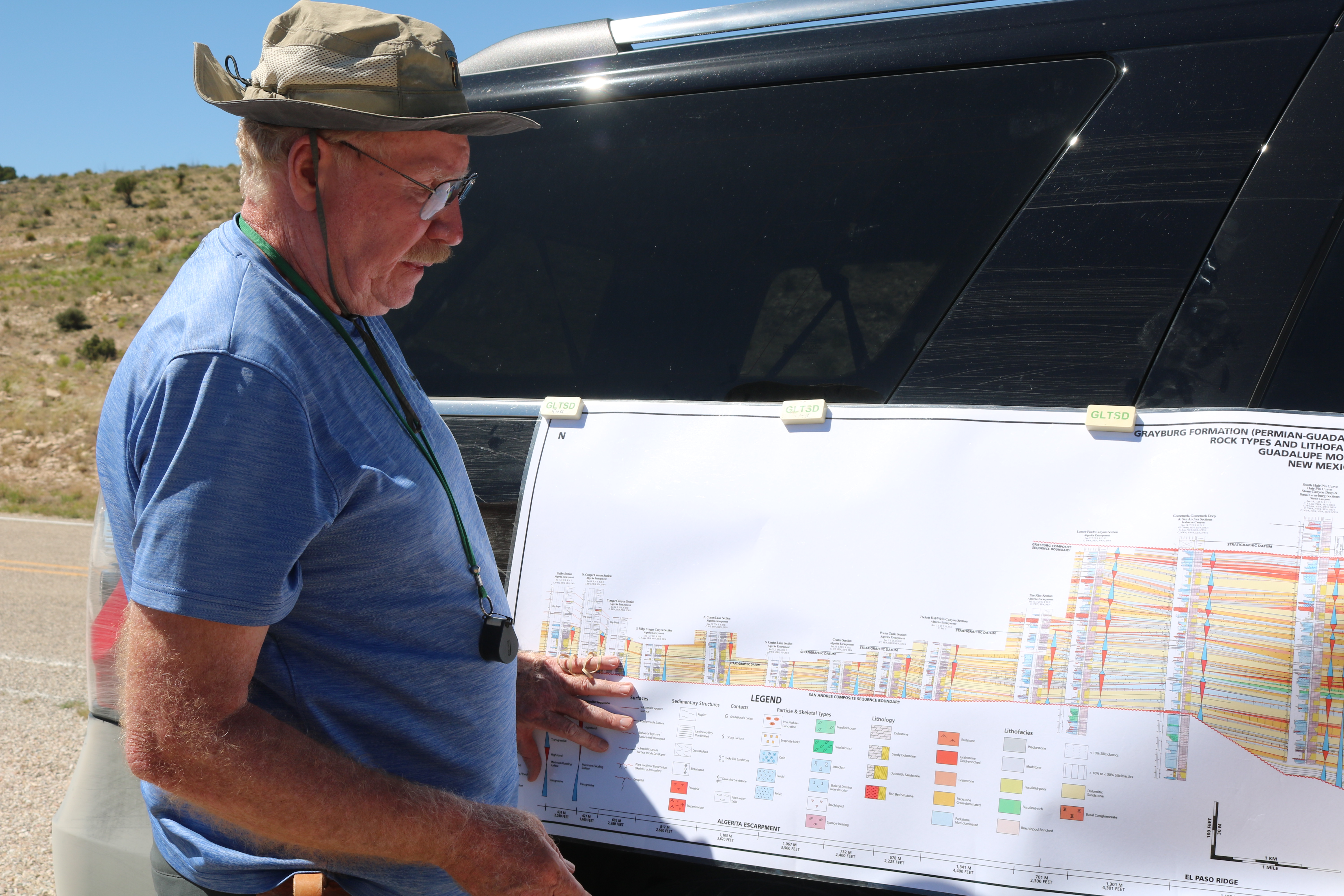
Part of Eunice Monument field, Eunice Monument South Unit (EMSU) was unitized in 1984 and was infill drilled from 80 acre to 40 acre spacing and put under secondary recovery (waterflood). Chevron management was concerned with the lack of waterflood performance from the Middle Permian (Guadalupian) Grayburg Formation. Bob’s assignment was to describe cores and build a series of reservoir-scale sequence stratigraphic cross sections through the unit to characterize the reservoir.
The first problem in EMSU was variable reservoir thickness, with a thin Grayburg reservoir up-dip only 300 ft (91 m) thick while down-dip the reservoir was nearly 600 ft (183 m) thick. This variation in thickness, through cored wells, was across 3 miles (4.8 km). How were the reservoirs strata connected? Bob realized that working with 4 inch-wide (10 cm) cores alone did not give him the 3-d information he needed to characterize Eunice Monument Field.
Thanks to a chance conversation with Jerry Lucia, a world renown geologist with the Texas Bureau of Economic Geology, Jerry mentioned that there were excellent Grayburg outcrops in Stone Canyon along the western escarpment of the Queen Plateau in the Guadalupe Mountains.
When Bob first set his eyes on Stone Canyon from “Inspiration Point,” he instantly realized that Grayburg Formation outcrops were nearly identical to facies he was describing in EMSU cores. Here was the 3-D information needed to characterize EMSU. Bob went to his manager and asked him to spend a day or two measuring a Grayburg section. The measured section turned out to be a perfect fit with the west side of EMSU. What a surprise! His manager was stunned. Bob suggested that additional sections should be measured, and his manager agreed. A series of measured sections in Stone Canyon on both north and south rims of the canyon revealed interwell-scale reservoir heterogeneities.
However, there were other canyons up-dip and down-dip of Stone Canyon. Bob soon realized that additional Grayburg reservoir in EMSU could be characterized by measuring additional sections in other canyons. Each canyon was dip-oriented. Key beds of strata were walked out into up-dip canyons. Down-dip required jumping from the Algerita Escarpment and El Paso Ridge to the Shattuck Valley Escarpment. Luckily, there were plenty of interbedded dolomitic sandstones to correlate with, which made the jump down-dip to Shattuck Valley Escarpment easy. An additional series of sections were measured along Shattuck Valley. By combining measured sections in Stone Canyon and other canyons both up-dip and down-dip, Bob was able to reconstruct the same 300 ft (91 m) thick up-dip and 600 ft (183 m) down-dip Grayburg architecture and identical facies to what was present in EMSU. Thus, the outcrops in the Guadalupe Mountains served as a guide to reconstructing the subsurface reservoir architecture in EMSU.
Bob led field trips to the Guadalupe Mountains for geologists and engineers from the Hobbs office. After seeing how well the outcrops in Stone Canyon tied to the reservoir at EMSU, management agreed to let Bob continue to work in the Guadulupe Mountains measuring sections. Nearly all his outcrop work was done by himself. Bob learned outdoor survival skills in U.S. Army Special Forces, known as the “Green Berets.” So, measuring Grayburg outcrops in the Guadalupe Mountains was a piece of cake.
Correlations were made from Guadalupe Mountain Grayburg outcrops into the subsurface of the Northwest Shelf and on into EMSU in the northwest corner of the Central Basin Platform. Correlations were made easy by utilizing interbedded dolomitic sandstone horizons. These dolomitic sandstones were correlated around the length of the Grayburg ramp margin from Stone Canyon to Eunice Monument, a distance greater than 100 miles (>161 km).
Based on this outcrop field work a series of subsurface reservoir-scale sequence stratigraphic models were produced in Eunice Monument. These sequence stratigraphic models were periodically updated as more cored wells became available. These were followed by conformance work to improve vertical and lateral reservoir sweep efficiency.
Bob routinely ran field trips for Chevron personnel in the spring and fall that focused on reservoir-scale sequence stratigraphy, with a total of 36 field trips. Field trips showed geologists and engineers Grayburg strata and equivalent high perm thief zones in outcrop. Once engineers saw the high porosity-permeability ooid dolograinstone thief zone equivalents in outcrop they asked to have an additional field trip where they could walk the ooid dolograinstone up-dip to where it pinched out into the lateral stratigraphic trap. Additional short, measured sections of the high porosity-permeability ooid dolograinstone were captured, starting down-dip in Stone Canyon where the dolograinstone was 12 ft (3.7 m) thick with sections measured every few hundred feet for a total distance of 10,000 ft (3 km) to where the ooid dolograinstone thinned to only 18 inches (0.5 m) and then pinched out into non-porous strata up-dip.
Bob retired from Chevron in 2002 and went to work for Saudi Aramco in Dhahran, Saudi Arabia from 2002 to 2015. He used what he learned in the Guadulupe Mountains to help build a sequence stratigraphic model of Ghawar Field Arab-D reservoir. Ghawar field is the largest conventional reservoir in the world. In the Middle East he ran field trips for Saudi Aramco that started in Late Permian strata and continued up section into Triassic, Jurassic, and Early Cretaceous outcrops in central Arabia, which included an Arab-D outcrop. He ran 36 field trips for Saudi Aramco, including one for Stanford University.
In the evenings after work from 2004-2014 Bob worked on and finished a Ph.D. through the University of Aberdeen, Scotland, utilizing Permian Basin Grayburg Formation for his doctoral thesis.
Bob is now retired and lives in Midland, Texas with his wife Linda, and visits his children (5), grandchildren (20), and great grandchildren (2) when he can find time. Bob spends his retirement giving back by teaching a few classes at his alma mater Brigham Young University (BYU). He is also an adjunct professor at the University of Texas at the Permian Basin (UTPB).
The Houston Geological Society (HGS) is planning a field trip to the Guadulupe Mountains on April 4-7, 2024, with Bob Lindsay the field trip leader. Come along on the HGS field trip and learn from the master geologist what to look for in outcrops and better understand Permian Basin subsurface geology. Each field trip participant will have the opportunity to build a 38 mile (61 km) regional composite-scale sequence stratigraphic model of Middle Permian strata through the Guadalupe Mountains into the western edge of the Delaware Basin.
Don’t miss the February 12th HGS Scholarship Night and meet Bob Lindsay in person at the Norris Center